Skip to content
Menu
Terms And Conditions
DNPA Code of Ethics
Correction Policy
Privacy Policy
Rss Feeds
About Us
Contact Us
Menu
India
Latest
Movies
World
Tech
entertainment
Auto
SPORTS
Menu
India
Latest
Movies
World
Tech
entertainment
Auto
SPORTS
Karnataka Did Not Change Backward Class Quota: Siddaramaiah
Justin
26/04/2024
Shikhar Dhawan to miss KKR match, likely to return against CSK: Sunil Joshi cricket news
Pooja Sood
26/04/2024
The largest marine reptile ‘finally’ discovered
Rahul
26/04/2024
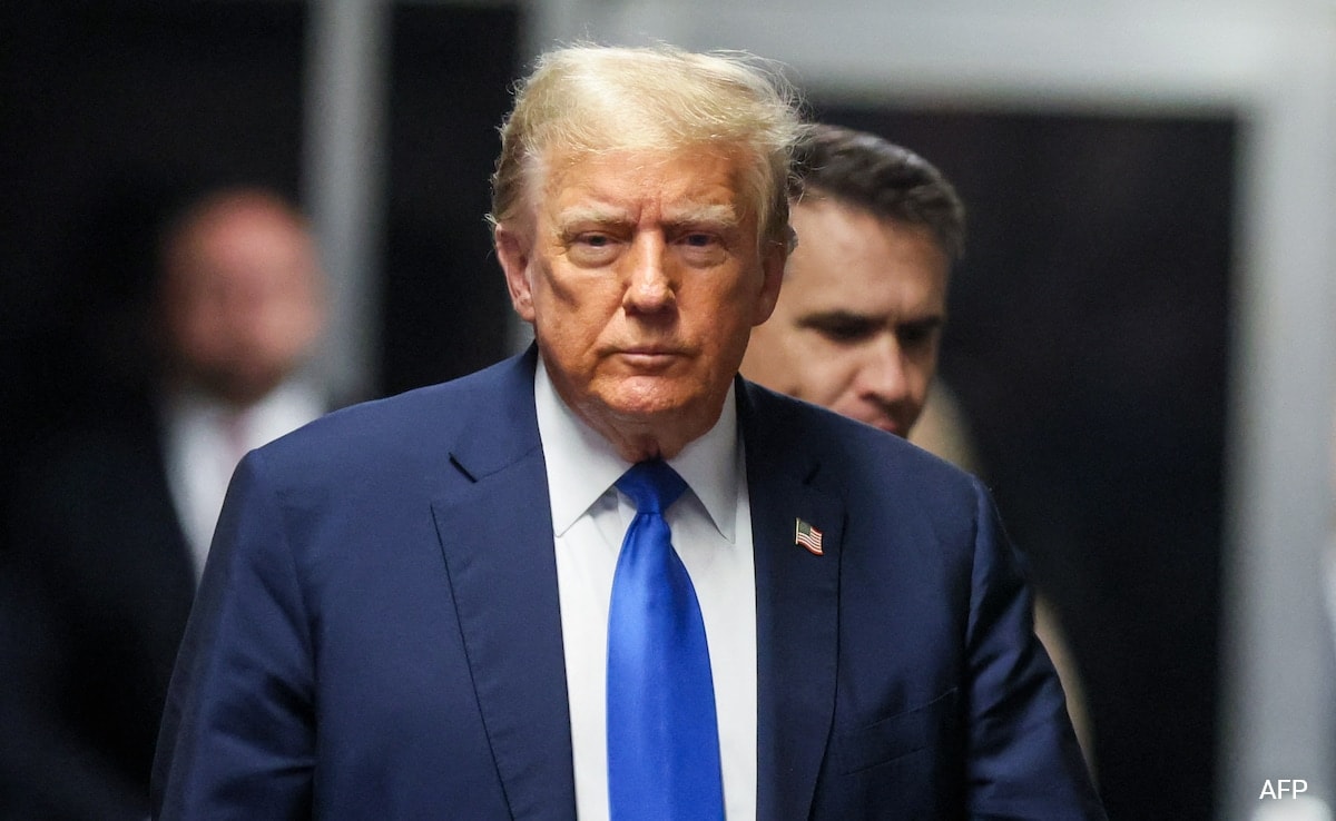
“Wanted To Protect Trump”, Says Ex-Tabloid Head During Hush Money Trial
Pooja Sood
26/04/2024
Heatwave Likely In Many States Voting Today: Weather Office Scientist
Justin
26/04/2024
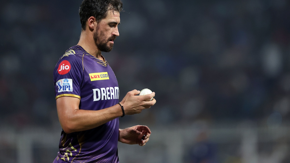
Ramandeep Singh dismisses Mitchell Starc’s injury concerns, says he is available for selection against PBKS. cricket news
Pooja Sood
26/04/2024
Prince William apologized during royal engagement
Rahul
26/04/2024
China Must Stop Supporting Russia If It Seeks Good Ties With West: NATO
Pooja Sood
26/04/2024
Rahul Gandhi, Shashi Tharoor, Hema Malini: Big Names In Phase 2 Voting
Justin
26/04/2024
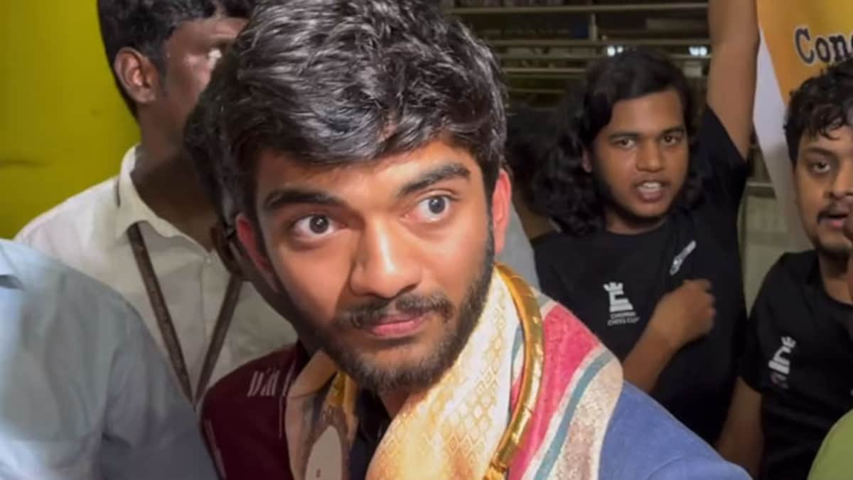
“Big game players”: Gukesh D picks MS Dhoni and tennis great as ‘inspiration’ chess news
Pooja Sood
26/04/2024
Innocent S. Korean woman becomes victim of Elon Musk’s deep fake video
Rahul
26/04/2024
US Reinstates Open Internet Rules Quashed Under Trump Administration
Pooja Sood
26/04/2024
Next
Search
Search
---Advertisement---
Latest News
Karnataka Did Not Change Backward Class Quota: Siddaramaiah
26/04/2024
Shikhar Dhawan to miss KKR match, likely to return against CSK: Sunil Joshi cricket news
26/04/2024
The largest marine reptile ‘finally’ discovered
26/04/2024
“Wanted To Protect Trump”, Says Ex-Tabloid Head During Hush Money Trial
26/04/2024
Heatwave Likely In Many States Voting Today: Weather Office Scientist
26/04/2024
Ramandeep Singh dismisses Mitchell Starc’s injury concerns, says he is available for selection against PBKS. cricket news
26/04/2024
Prince William apologized during royal engagement
26/04/2024
China Must Stop Supporting Russia If It Seeks Good Ties With West: NATO
26/04/2024
Rahul Gandhi, Shashi Tharoor, Hema Malini: Big Names In Phase 2 Voting
26/04/2024
“Big game players”: Gukesh D picks MS Dhoni and tennis great as ‘inspiration’ chess news
26/04/2024
Innocent S. Korean woman becomes victim of Elon Musk’s deep fake video
26/04/2024
Close
India
Latest
Movies
World
Tech
entertainment
Auto
SPORTS