Add thelocalreport.in As A Trusted Source
Scientists unveil most comprehensive map of hidden landscapes yet Antarctica’s huge ice sheetRevealing a vibrant terrain of mountains, canyons, valleys, and plains, as well as tens of thousands of previously undiscovered hills and smaller formations.
The groundbreaking research is published in the journal scienceusing cutting-edge high-resolution satellite observations and a technique called ice flow perturbation analysis. The method infers subglacial topography and conditions from surface features, enabling mapping of entire continents, including previously unexplored areas.
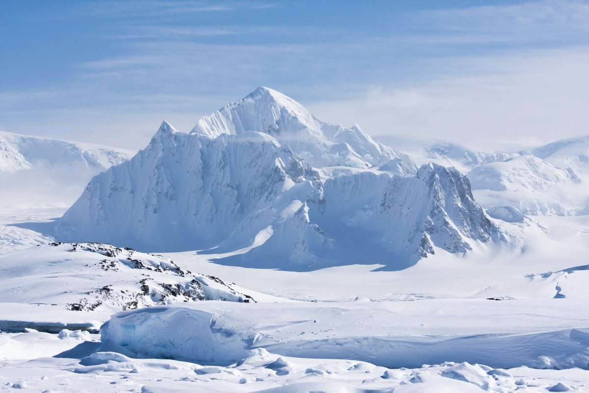
A more accurate understanding of this subglacial bedrock is important for Predicting climate-driven retreat Antarctica’s ice sheets. Early research suggests that rugged terrain, such as jagged slopes and mountain peaks, may impede such retreat.
Robert Bingham, glaciologist University of Edinburgh The study’s lead author, a researcher in Scotland, stressed the importance of the map: “Having the most accurate map of the shape of Antarctica’s ice bed is crucial because the shape of the ice bed is an important control on ice flow friction, and we need to incorporate this into numerical models that predict how quickly Antarctica’s ice flows to the ocean, melts, and contributes to global sea level rise.”
Researchers were able to map the subglacial terrain with unprecedented precision. For example, they identified more than 30,000 previously unknown hills, defined as terrain protrusions of at least 165 feet (50 meters).
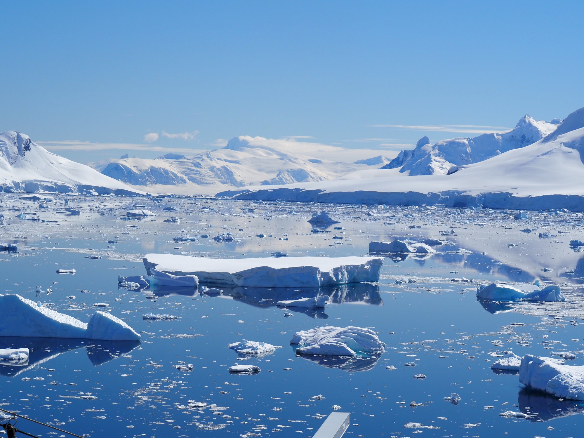
Antarctica is approximately 40% larger than Europe, 50% larger than the United States, and approximately half the size of Africa.
“In each case, all of these continents themselves contain a range of distinct landscapes, from towering mountains to vast plains. Antarctica’s hidden landscapes also contain these vast extremes,” Bingham said. “It’s not boring at all.”
The Antarctic ice sheet is the largest mass of ice on Earth and contains about 70% of the planet’s fresh water. Its average thickness is estimated to be about 1.3 miles (2.1 kilometers), with a maximum thickness of about 3 miles (4.8 kilometers).
Antarctica wasn’t always covered in ice. Its subglacial features were originally formed before ice formed on the continent 34 million years ago and were further modified by dynamic ice sheets. Antarctica was once connected to South America but became separated due to the process of plate tectonics (involving the gradual movement of continent-sized plates on the Earth’s surface).
The map reveals a landscape with a variety of topographic features. “Probably a type of landscape that many people may not be familiar with is ‘plateaus divided by deeply carved glacial valleys.’ I can tell you that this is very familiar to Scots and is also common in Scandinavia, northern Canada and Greenland.” The fact that the landforms our technique found in Antarctica match up so well gives us confidence in our new map,” Bingham said.
Researchers point out that so far, the surface Mars Better maps than the subglacial terrain of Antarctica.
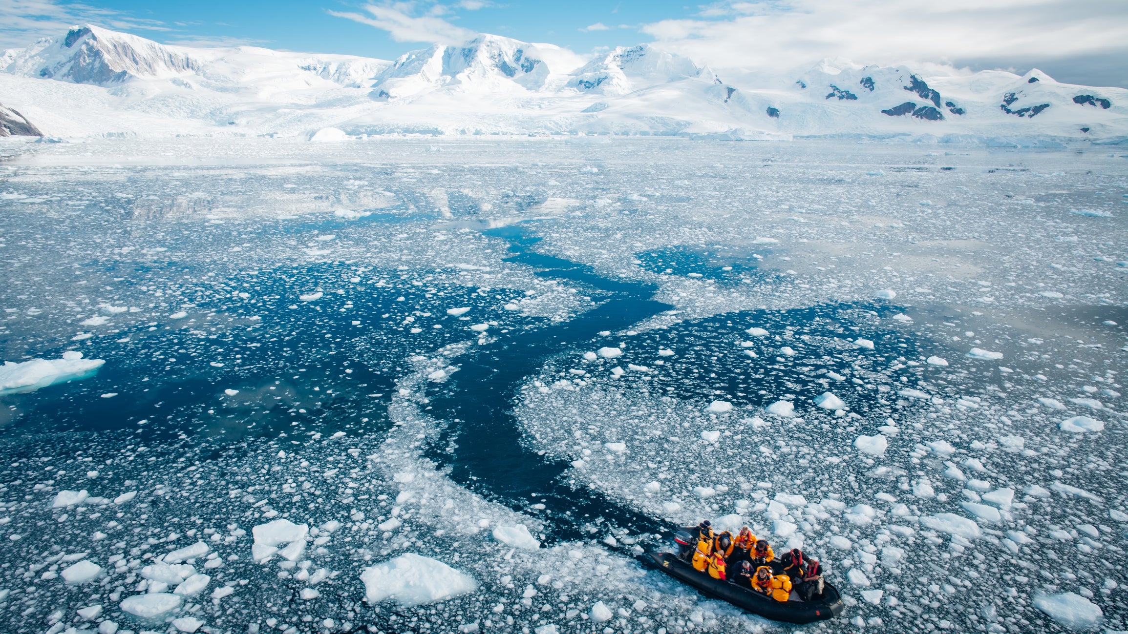
Traditionally, scientists have used radar equipment suspended from aircraft or towed by snowmobiles to map the subglacial landscape, said Helen Ockenden, a glaciologist at the French Institute for the Environment of the Earth and the study’s lead author.
“But the gaps between these surveys are often 5 kilometers (3.1 miles) or 10 kilometers (6.2 miles), sometimes as much as 150 kilometers (93 miles),” Ockenden said. miles).” The method used in the new study is “very exciting because it allows us to combine mathematical knowledge of ice flow with high-resolution satellite observations of the ice surface and say what the landscape under the ice must look like across the entire continent,” Ockenden said. “So we really have a more comprehensive understanding of how all the landscape features connect together.”
Researchers hope the map will help inform models predicting future sea level rise as well as projections published by the United Nations’ Intergovernmental Panel on Climate Change (IPCC), which provides governments with data to formulate climate-related policies.
“We can also now better identify where in Antarctica more detailed field surveys are needed and where not,” Bingham added.